


Contents
Add geolocations to Trac tickets
Notice: This plugin is unmaintained and available for adoption.
Description
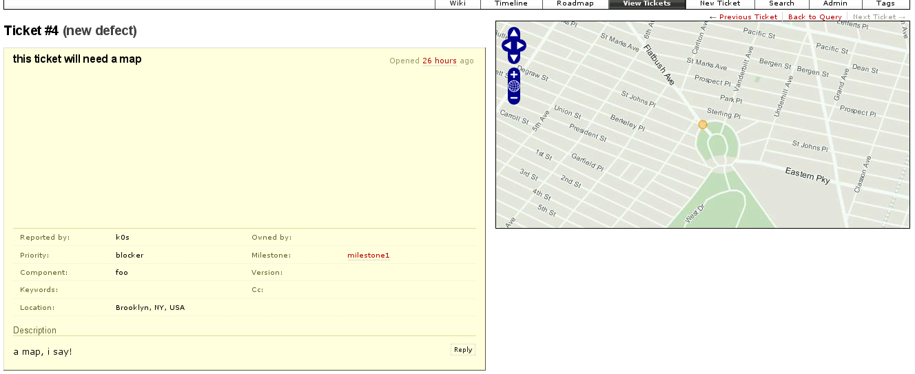
This plugin geolocates issues and displays them on a map using GeoServer and OpenLayers. A location field is added to the ticket using the CustomFieldProviderPlugin which is then geolocated using Google's API via geopy. A map is displayed alongside the ticket using the TicketSidebarProviderPlugin.

Bugs/Feature Requests
Existing bugs and feature requests for GeoTicketPlugin are here.
If you have any issues, create a new ticket.
| defect |
2 / 2 |
||
|---|---|---|---|
| enhancement |
1 / 2 |
Download
Download the zipped source from here.
Source
You can check out GeoTicketPlugin from here using Subversion, or browse the source with Trac.
Installation
General instructions on installing Trac plugins can be found on the TracPlugins page.
Recent Changes
- 12984 by rjollos on 2013-04-19 16:30:50
-
Refs #7262: Point
setup,pylink to TracSqlHelperScript0.11directory rather thananyreleasedirectory.
- 7768 by k0s on 2010-03-10 01:23:53
-
check to ensure db is not none before commiting; honestly, i dont understand any of this :(
- 6785 by k0s on 2009-10-21 18:59:21
-
pass in doc keyword; see http://trac.edgewall.org/ticket/8763#comment:2
(more)
Author/Contributors
Originally developed at The Open Planning Project
Author: k0s
Maintainer: none (needsadoption)
Contributors:
Attachments (1)
- geotrac-example.png (296.8 KB) - added by 16 years ago.
Download all attachments as: .zip